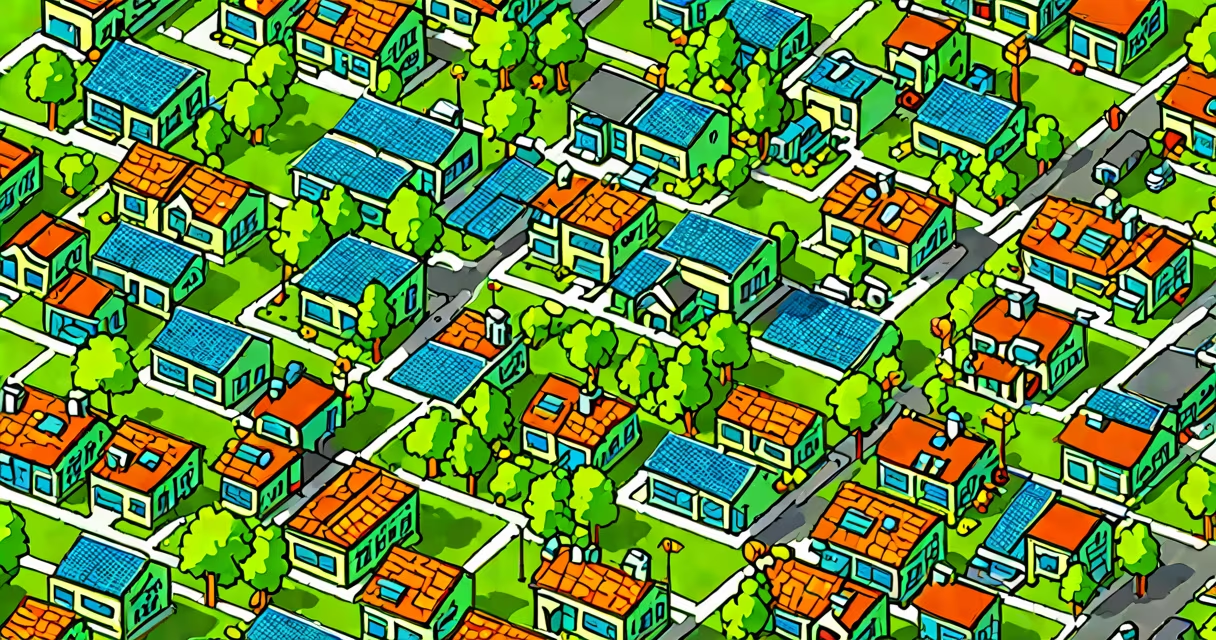
Geography sustainability definition refers to the spatial planning and management of natural resources, ecosystems, and human settlements to maintain ecological integrity and support human well-being across generations. It applies geographic principles to assess how land use, climate, population density, and infrastructure interact over time.
This concept combines physical geography-such as soil health, water cycles, and biodiversity-with human geography, including economic activity, settlement patterns, and cultural practices. The goal is to prevent environmental degradation while meeting current needs without compromising future generations' ability to meet theirs.
For example, a coastal city using GIS mapping to identify flood-prone zones and restrict high-density housing in those areas demonstrates geography sustainability in action. This approach prevents both environmental damage and long-term economic loss from recurring floods.
Geography sustainability relies on spatial data and systems thinking. It evaluates relationships between place, people, and environment through tools like remote sensing, GPS, and geographic information systems (GIS). These technologies allow planners to model scenarios such as deforestation impacts or urban heat island effects.
Decision-making under this structure considers multiple layers: biophysical conditions (soil quality, rainfall), socioeconomic factors (employment rates, access to healthcare), and policy contexts (zoning laws, conservation regulations). A region's vulnerability to drought, for instance, is assessed not just by historical rainfall but also by population growth trends and agricultural dependency.
When applied correctly, geography sustainability identifies tipping points-thresholds beyond which ecosystems collapse irreversibly. For example, the Amazon rainforest may lose its ability to recycle moisture through evapotranspiration if deforestation exceeds 20-25% of its total area, according to research published in Nature.
Geography sustainability is not a single model but a set of interrelated approaches based on different scales and priorities. Key components include:
These elements operate at various levels. Local projects might focus on restoring wetlands to reduce flooding. National policies often involve setting protected area networks. Global frameworks, like the UN Sustainable Development Goals (SDGs), integrate geography sustainability through indicators such as SDG 13 (climate action) and SDG 15 (life on land).
| Type | Scope | Example |
|---|---|---|
| Urban sustainability | City-scale | Curitiba, Brazil's bus rapid transit system reduced car use by 25% and cut emissions by 30% since 1970. |
| Regional sustainability | Watershed or ecoregion | California's Sustainable Groundwater Management Act (SGMA) mandates local agencies to prevent overdraft in aquifers. |
| Global sustainability | Continental or planetary | Paris Agreement targets limit global warming to below 2°C using nationally determined contributions (NDCs). |
Many assume geography sustainability is synonymous with environmentalism or green technology. While related, it differs in focus. Environmentalism often emphasizes moral responsibility toward nature. Geography sustainability centers on measurable spatial outcomes-how places change over time due to human decisions.
A frequent error is treating sustainability as a static endpoint. In reality, it is changing. A forest may be "sustainable" today but face irreversible decline if logging continues at current rates. The term implies ongoing monitoring and adaptive management.
Another misunderstanding is equating sustainability with economic growth. True geography sustainability recognizes trade-offs. Expanding a port may boost regional GDP but degrade marine habitats. The decision requires balancing short-term gains against long-term ecological costs.
For instance, the Great Barrier Reef's decline due to rising sea temperatures and runoff from farming illustrates how unsustainable practices in one sector (agriculture) affect another (marine ecosystems). Geographic analysis reveals these linkages and informs integrated solutions.
In 2016, the city of Copenhagen launched a climate adaptation plan using detailed flood modeling based on elevation maps, precipitation records, and population density data. The plan prioritized green roofs, permeable pavements, and expanded drainage systems in neighborhoods most vulnerable to storm surges.
Using GIS, planners identified 12 districts at high risk. They then allocated funds proportionally to each based on projected damage and population exposure. Over five years, these interventions reduced flood-related property damage by 41%, according to municipal reports.
This project exemplifies geography sustainability: it uses spatial data to anticipate risks, allocates resources efficiently, and adapts strategies over time. It did not rely on generic "green" slogans but on precise location-based analysis.
During fieldwork in 2019, I observed similar methods used in rural Nepal. Local leaders combined satellite imagery with community surveys to map landslide-prone slopes. They relocated homes and planted native trees along unstable hillsides. Within two years, erosion decreased by 60% in targeted zones.
Social sustainability-the fair treatment of people within communities-is equally important. A mining project may meet environmental standards yet displace indigenous populations. Geography sustainability addresses this by analyzing demographic shifts, access to services, and cultural heritage sites.
For example, the Māori in New Zealand have long advocated for the legal recognition of rivers as living entities. The Whanganui River was granted personhood status in 2017, allowing it to be represented in court. This reflects a geographic understanding that water systems are not just physical features but integral parts of social and spiritual life.
Understanding geography sustainability means recognizing that no system operates in isolation. Land use affects climate, which influences health, which shapes migration. Spatial awareness enables better decisions across domains.
Geography sustainability definition is not a vague ideal. It is a method rooted in observation, measurement, and long-term planning. It demands interdisciplinary collaboration and continuous learning. When applied rigorously, it prevents crises before they emerge.