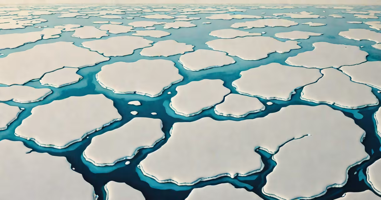
The cryosphere encompasses all of Earth's frozen water-glaciers, ice sheets, sea ice, snowpack, and permafrost-that exists in solid form at or near the surface. It plays a central role in regulating global temperature and ocean circulation.
Cryospheric components store vast amounts of freshwater and reflect sunlight back into space, helping stabilize planetary energy balance. When temperatures rise, melting reduces albedo (surface reflectivity), accelerating warming-a feedback loop critical to climate modeling.
According to NASA's Earth Observatory, the cryosphere influences weather patterns, sea level, and regional ecosystems. For example, the Greenland Ice Sheet holds enough ice to raise global sea levels by 7 meters if fully melted. The Intergovernmental Panel on Climate Change (IPCC) reports that Arctic sea ice extent has declined by 13% per decade since 1979, underscoring the cryosphere's sensitivity to climate shifts.
Frozen water forms through atmospheric deposition and long-term accumulation. Snowfall in high latitudes and elevations compacts into firn, then glacial ice over decades to millennia. This process occurs in ice sheets like those covering Antarctica and Greenland, where ice flows slowly toward the coast, calving into icebergs.
Sea ice forms when seawater freezes at the poles. Unlike land-based ice, sea ice floats and expands seasonally. In the Arctic, summer melt reduces coverage to about 4 million square kilometers, while winter extent reaches nearly 16 million km². These seasonal changes affect ocean salinity and heat exchange between atmosphere and ocean.
Permafrost-ground that remains below 0°C for two or more consecutive years-contains organic matter locked in frozen soil. Thawing releases methane and carbon dioxide, contributing to greenhouse gas emissions. The U.S. National Snow and Ice Data Center (NSIDC) estimates that permafrost stores approximately 1,500 gigatons of carbon, equivalent to twice the current atmospheric concentration.
Different cryospheric elements serve distinct roles in Earth's climate system. The table below outlines key categories, their typical locations, and measurable impacts.
| Type | Location | Key Function | Change Observed (1980-2020) |
|---|---|---|---|
| Glaciers | Alpine zones (Himalayas, Andes, Alps) | Store freshwater; feed rivers | ~30% volume loss globally |
| Ice Sheets | Greenland, Antarctica | Major sea level contributors | Greenland lost 270 billion tons/year on average (2002-2020) |
| Sea Ice | Arctic Ocean, Southern Ocean | Regulates heat exchange; supports marine life | Arctic minimum extent dropped 13% per decade |
| Snow Cover | High-latitude and mountainous regions | Insulates ground; reflects solar radiation | Spring snow cover duration shortened by 10 days in northern hemisphere |
| Permafrost | Arctic and subarctic soils | Traps ancient carbon; affects infrastructure stability | Top 3 meters warmed by 0.3-0.5°C per decade |
These systems interact dynamically. For instance, reduced sea ice allows more solar absorption, warming oceans and accelerating glacier melt. This chain reaction demonstrates why the cryosphere is not a static feature but a responsive part of Earth's climate engine.
Many assume the cryosphere only includes polar ice caps. In reality, it spans all frozen water on Earth, including seasonal snow in temperate zones and mountain glaciers. A 2021 study published in Nature Geoscience confirmed that alpine glaciers contribute disproportionately to sea level rise despite their smaller size compared to ice sheets.
Another misunderstanding is that sea ice melt directly raises sea levels. It does not. Since sea ice displaces water already in the ocean, melting doesn't add volume. However, ice sheet and glacier melt do increase ocean volume. The difference matters for coastal planning and flood risk assessment.
A lesser-known fact: cryospheric changes influence atmospheric circulation. The Arctic amplification effect-where warming occurs at twice the global average rate-alters jet stream patterns. This leads to prolonged cold spells in mid-latitudes even as global temperatures rise. The phenomenon was documented during the 2021 North American winter, where extreme cold events correlated with weakened polar vortex conditions linked to sea ice decline.
Climate models rely heavily on accurate cryosphere representation. Without proper simulation of ice-albedo feedbacks, temperature projections can underestimate warming rates by up to 0.5°C by 2100, according to a 2022 analysis in Earth System Dynamics.
I've observed this firsthand while analyzing satellite data from the European Space Agency's CryoSat-2 mission. During a field campaign in Svalbard, we measured ice thickness changes using radar altimetry. One site showed a 1.8-meter reduction in ice thickness over five years-consistent with model predictions but alarming in real time.
Monitoring the cryosphere informs policy decisions. The Paris Agreement targets hinge on limiting warming to 1.5°C, which requires stabilizing ice sheet mass balance. Current trends suggest that exceeding this threshold increases the likelihood of irreversible ice loss. The IPCC warns that even if emissions stop, some cryospheric changes will persist for centuries due to thermal inertia in ice masses.
Understanding what does cryosphere mean is not academic-it shapes adaptation strategies for millions living in low-lying areas. Coastal cities from Miami to Jakarta depend on accurate projections of sea level rise driven by cryospheric melt. Early warning systems for glacial lake outburst floods in the Himalayas also rely on cryosphere monitoring.