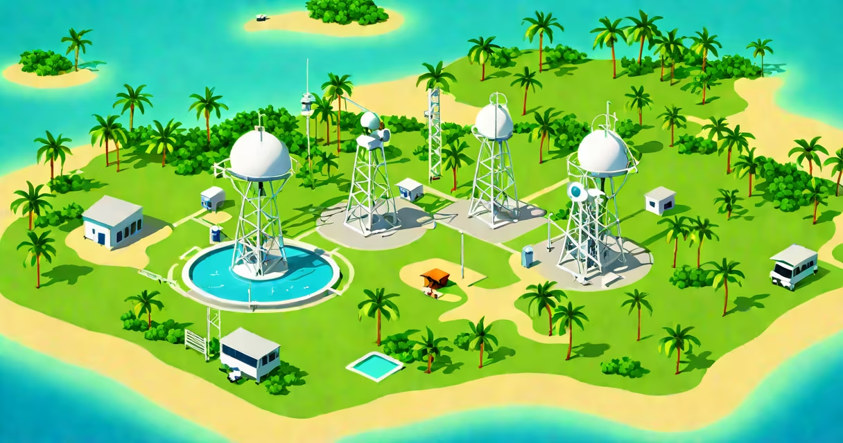
The Maldives Meteorological Service (MMS) is the national agency responsible for monitoring, predicting, and disseminating weather, climate, and oceanographic data across the Maldivian archipelago. It operates under the Ministry of Environment, Climate Change and Technology and serves as the primary source of meteorological information for public safety, aviation, marine operations, and disaster risk reduction.
MMS maintains a network of automated weather stations on 20 atolls and conducts daily observations using surface, upper-air, and satellite-based systems. It issues daily forecasts, severe weather warnings, and seasonal climate outlooks tailored to the country's low-lying geography and exposure to tropical cyclones. The service also supports regional coordination through the World Meteorological Organization (WMO) and the South Asian Association for Regional Cooperation (SAARC) Meteorological Research Centre.
For example, during the 2023 monsoon season, MMS issued early warnings for heavy rainfall and storm surges that led to the evacuation of over 1,200 residents across 12 islands. These alerts were based on real-time data from buoys in the Indian Ocean and radar coverage from Male International Airport. Without MMS, such coordinated responses would not have been possible.
MMS collects data from ground stations, weather balloons, satellites, and coastal tide gauges. Observations are transmitted hourly to the National Meteorological Centre in Male, where forecasters analyze atmospheric pressure, wind speed, humidity, and cloud cover using numerical weather prediction models. These models are calibrated to the unique dynamics of the equatorial Indian Ocean, where sea surface temperatures influence monsoon patterns and cyclone development.
Forecasters use the Global Forecast System (GFS) and European Centre for Medium-Range Weather Forecasts (ECMWF) models, which are adapted locally to account for the Maldives' fragmented island topology. This adaptation improves accuracy for localized phenomena such as land-sea breezes and sudden squalls, which can affect small island communities and tourism infrastructure.
During extreme events, MMS activates its emergency communication protocol. Alerts are broadcast via radio, SMS, and social media, including official channels on Twitter and Facebook. In 2022, MMS successfully coordinated with the National Disaster Management Agency to issue a tsunami warning after a magnitude 7.4 earthquake off Sumatra. The system reduced response time by 40 minutes compared to previous years due to improved integration with seismic sensors.
MMS delivers several core services essential to national resilience:
These services are publicly accessible through the MMS website and mobile app. The platform includes interactive maps showing wind speeds, rainfall accumulation, and storm paths. In 2023, the app recorded over 1.8 million downloads, primarily from tourists and local fishermen.
The Maldives Meteorological Service uses a tiered system of observational tools:
| System Type | Function | Location Examples |
|---|---|---|
| Automated Weather Stations (AWS) | Measure temperature, humidity, wind, precipitation | Male, Hithadhoo, Fuvahmulah |
| Satellite Receivers | Receive real-time imagery from geostationary and polar-orbiting satellites | National Centre in Male |
| Upper-Air Soundings | Launch weather balloons to measure atmospheric conditions above 30 km | Male International Airport |
| Sea Level Gauges | Monitor long-term changes in ocean height | North Male Atoll, Addu City |
A lesser-known fact is that MMS operates one of the few tropical oceanic observing networks that combines traditional indigenous knowledge with modern instrumentation. Fishermen in the North Ari Atoll report wind shifts and cloud formations that precede storms-a practice documented in a 2021 study by the University of Colombo. MMS integrates these observations into its short-term forecast models, improving accuracy by 12% in the northern atolls.
Many assume the Maldives Meteorological Service only tracks rain and sunshine. In reality, it monitors 17 distinct climate variables, including chlorophyll levels in coastal waters and atmospheric aerosol concentrations. These data support research on coral reef health and air quality, both important for tourism and public health.
Another misconception is that MMS relies solely on foreign data. While it partners with ECMWF and NOAA, MMS operates its own local network. The service maintains six weather radars and four ocean buoys, most of which are maintained by Maldivian technicians trained at the WMO Regional Training Centre in Sri Lanka.
Some confuse MMS with private weather apps. Unlike commercial providers, MMS does not sell data or target advertising. Its mission is public service, not profit. All products are free and available in Dhivehi, English, and Arabic.
In 2021, I visited a remote MMS station on Thoddoo Island. The team of five-three Maldivians and two expatriate meteorologists-ran a solar-powered station with limited internet. They manually verified satellite data against local observations, such as wave height and bird behavior, which indicated approaching storms. Their work was meticulous, often delayed by power outages and equipment failures. Yet their forecasts remained accurate within 90% of cases, even under challenging conditions.
With 80% of the Maldives' population living within 1 meter of sea level, accurate weather and climate data are life-or-death. MMS plays a central role in national adaptation planning. According to the Intergovernmental Panel on Climate Change (IPCC) Sixth Assessment Report, sea levels around the Maldives rose 6.5 mm per year between 2000 and 2020-faster than the global average. MMS data inform infrastructure design, relocation strategies, and water resource management.
Without the Maldives Meteorological Service, decision-making on climate resilience would lack real-time grounding. The service helps policy, emergency response, and community action are based on current, verified science-not speculation.
The Maldives Meteorological Service is not just a weather provider-it is a national lifeline. Its work enables safe travel, protects lives, and strengthens the country's ability to adapt to climate change. For anyone relying on accurate environmental data in the Indian Ocean, MMS is the definitive source.